
Light snowfall is expected over the high-lying areas of the Eastern Cape and southern KwaZulu-Natal this weekend, the South African Weather Service has announced.
This follows a significant snow event last week that caused disruptions between Free State, KwaZulu-Natal, and the Eastern Cape. The unexpected snowfall mainly happened around the N3 highway, a major route connecting Johannesburg and Durban.
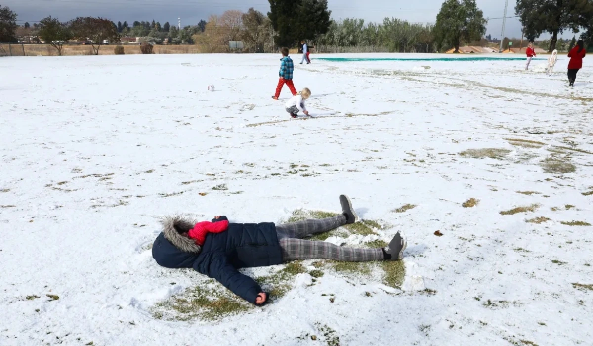
ALSO READ: Jozi FM Presenter Penny Ntuli Placed on Sick Leave After Being Stranded in Drakensberg Snow
The heavy snowfall caused significant disruptions, leading to road closures, stranded motorists, and even fatalities.
The snowfall expected this weekend, which could see accumulations of up to 2 cm, is expected to begin in the Western Cape early Sunday morning, spreading eastwards into the Eastern Cape and southern KwaZulu-Natal by Monday morning.
“Snowfall is likely to persist on Tuesday, particularly over the eastern parts of the Eastern Cape and southern KwaZulu-Natal,” SA Weather said.
Snow Expected In The Western Cape And Spread Eastward This Weekend
The weather event is associated with an upper trough system coupled with a ridging high-pressure system that will bring cooler temperatures across South Africa’s escarpment regions. By Sunday, temperatures are expected to fall significantly in the Western Cape. Cold conditions will dominate the Eastern Cape and southern KwaZulu-Natal by Monday, with daytime temperatures dropping below 10℃.
“Rainfall accumulation is not expected to exceed 30 mm during this period,” SAWS noted, but cold fronts will bring showers and strong winds to coastal areas.
Marine conditions could be dangerous, with swells of 4 to 6 meters forecast between Saldanha Bay and Port Shepstone and strong to gale-force winds between Cape Agulhas and East London.
Cooler Temperatures and Strong Winds Predicted Along South Coast
While the forecasted snowfall is much lighter than the recent September 19-22 event, SA Weather has urged the public to remain vigilant.
“The impacts expected are not as significant as the snow event earlier this month,” they clarified, adding that the N3 highway, including Van Reenen’s Pass, is not likely to be significantly affected this time.
The South African Weather Service will continue monitoring the situation and provide updates through its official channels, including social media and its website.